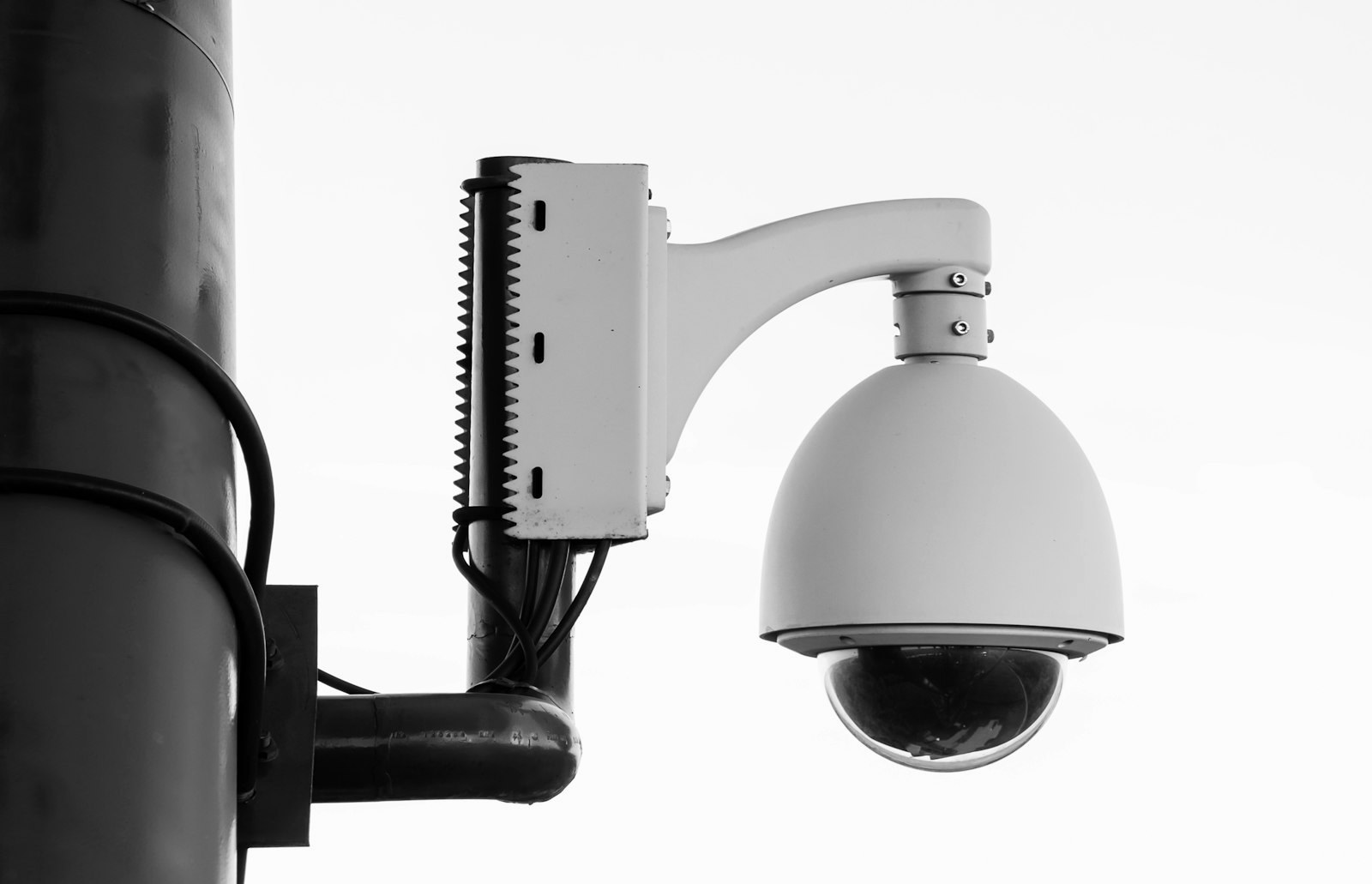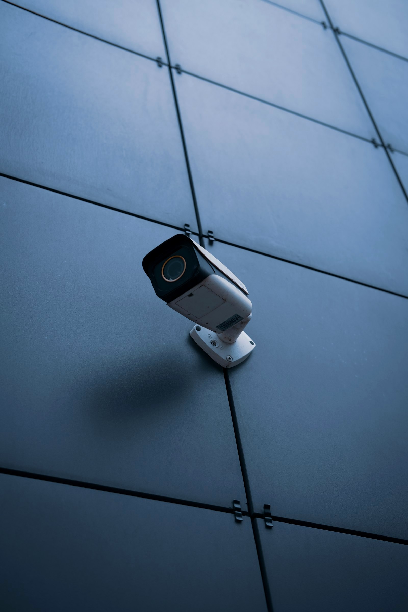
Remember when MapQuest was just the place you went to print out turn-by-turn directions before the era of the smartphone? Well, the legacy navigation giant is making a bold, modern comeback—not with better routing, but with a side of digital activism. MapQuest has just launched a 'Surveillance Layer' that reveals exactly where the eyes in the sky are watching your commute.
Mapping the Invisible Net
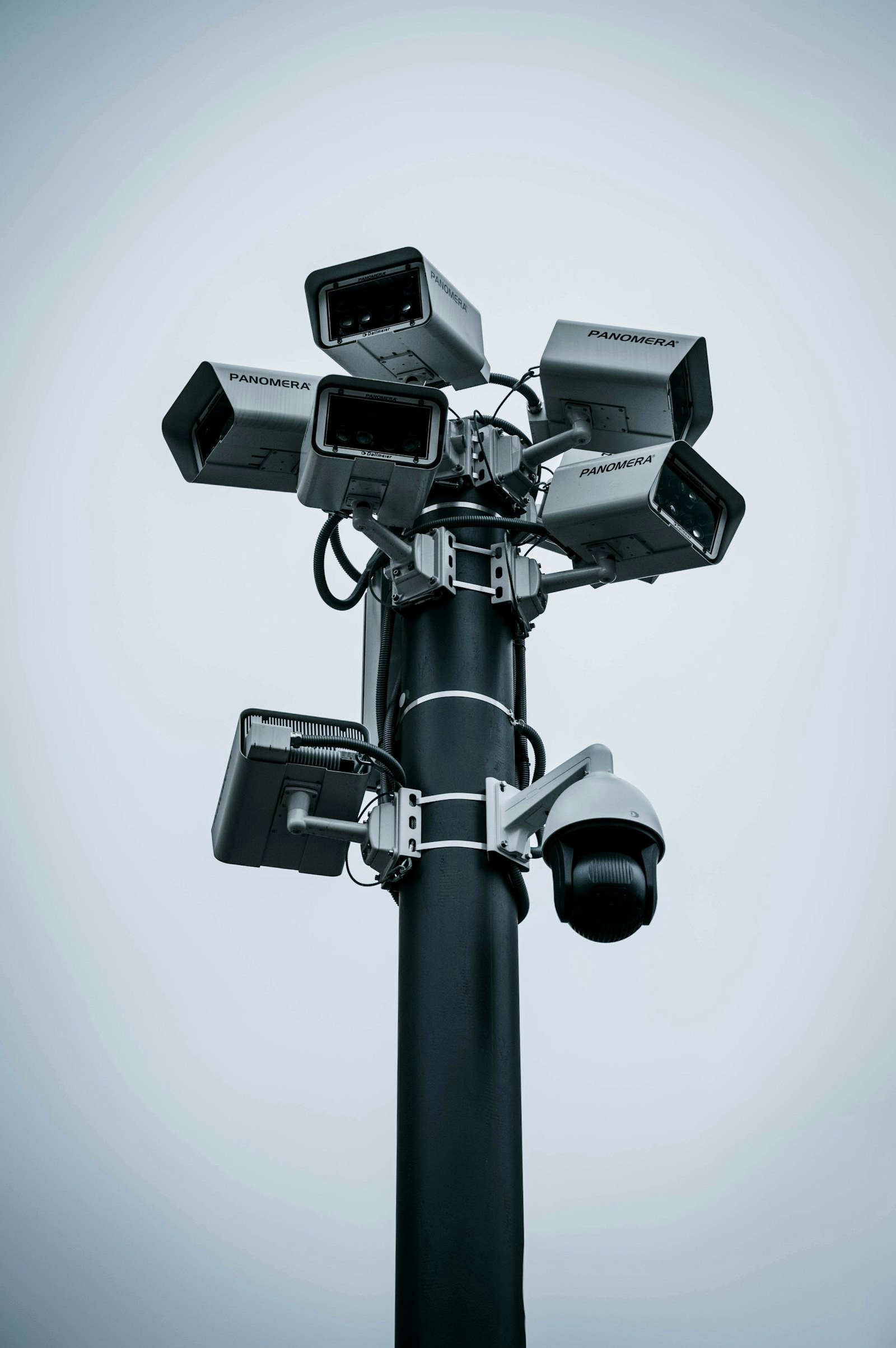
For years, Automatic License Plate Readers (ALPRs) have operated as a silent infrastructure of private-sector policing. Now, MapQuest is bringing them into the light. The new feature allows users to toggle a layer that displays known locations of cameras from Flock Safety and ten other major vendors, including Motorola Solutions (Vigilant), Axon, Genetec, and Verkada.
Whether it's a neighborhood watch initiative or a city-wide police grid, these cameras are no longer invisible. By placing this data alongside traditional traffic and incident reports, MapQuest is effectively turning a navigation tool into a transparency dashboard.
A Shift Toward Public Transparency
This isn't just about avoiding a ticket; it's about the visibility of private-sector surveillance. By mapping hardware from companies like Axis Communications, Rekor, and Ubicquia, MapQuest is highlighting how deeply integrated these systems have become in our residential streets. The data is largely crowdsourced, reflecting a growing public desire to know who is collecting their location data and where the hardware is physically installed.
The New Commute
As we move toward an era of 'smart cities,' the line between public safety and constant surveillance continues to blur. MapQuest's move signals a shift in the power dynamic, giving drivers a way to visualize the digital dragnet they pass through every day. Whether you see this as a vital privacy tool or a redundant feature, one thing is clear: the map is no longer just about where you're going, but who's watching you get there.
Sources
Media